Wann reisen
Die besten Wasserfälle, Monat für Monat
Jeder Wasserfall hat seine Saison. Wählen Sie den Reisemonat und sehen Sie, welche voll und angenehm zu besuchen sind.
Die Familie
Lieber Strand, See, Berge, Wasserfälle, Inseln, Flüsse, Schluchten, Höhlen, Sternenhimmel, Aussicht, Vogelbeobachtung oder Wälder?
Dieselbe Idee, andere Landschaften: Feldatlanten aus offenen Daten, Monat für Monat, in sieben Sprachen.
 Strand
 Finden Sie Ihren Strand: Meerestemperatur, Sonne und Baden Monat für Monat.Besuchen
  See
See Die Seen der Welt: Wassertemperatur, Eis, Tiefe und Ufer.Besuchen
  Berge
Berge Jeder Gipfel in 3D: Gipfelklima, Nullgradgrenze, Hütten und Wege.Besuchen
  Wasserfälle
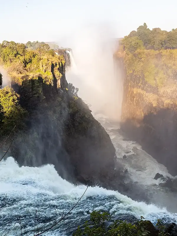
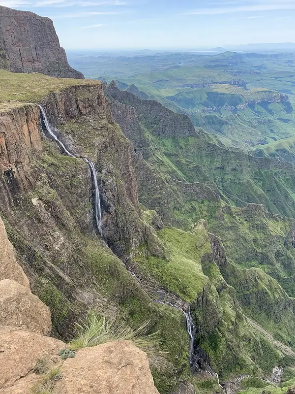
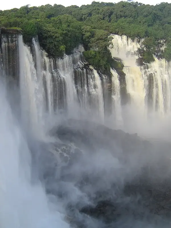
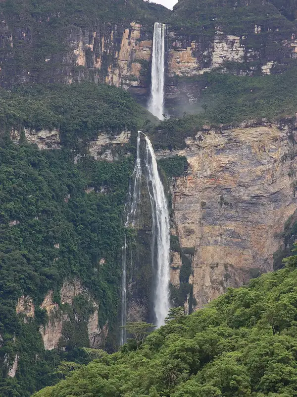
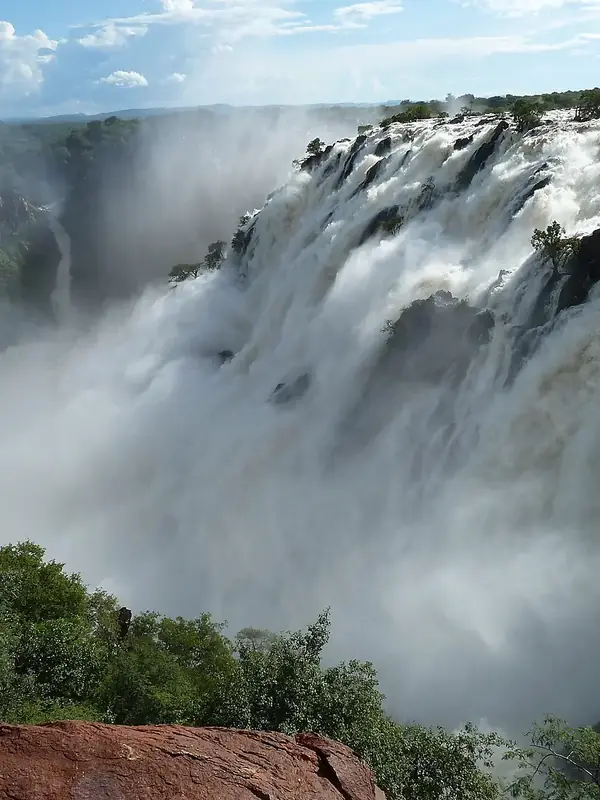
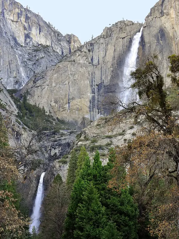
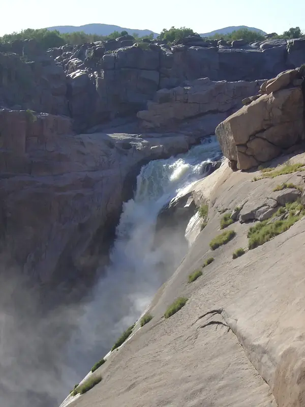
 Die Wasserfälle der Welt: Höhe, Abfluss Monat für Monat und wann sie tosen.Sie sind hier
 Inseln
 Jede Insel vom Meer aus: Größe, Meerestemperatur, Fähren und 3D.Besuchen
  Flüsse
 Jeder Fluss von der Quelle bis zur Mündung: die Reise, der Abfluss und das Einzugsgebiet in Zahlen.Besuchen
  Schluchten
 Jede Schlucht im Querschnitt: Tiefe bis zur Sohle, Temperaturen am Rand und am Grund, Wege und Aussichtspunkte.Besuchen
  Höhlen
 Jede Höhle mit ihrer echten Tiefe und Länge: der Fels darüber, die Temperatur drinnen das ganze Jahr und wie man sie besucht.DemnächstBesuchen
  Sternenhimmel
 Wo die Nacht noch dunkel ist: der Himmel jedes Ortes, die Milchstraße Monat für Monat, der Mond, Finsternisse und Polarlichter.DemnächstBesuchen
  Aussicht
 Jeder Aussichtspunkt mit seinem echten 360°-Panorama: die Gipfel, die man sieht, wie weit man blickt und wo die Sonne untergeht.DemnächstBesuchen
  Vogelbeobachtung
 Jedes Vogelschutzgebiet und Feuchtgebiet mit den beobachteten Arten Monat für Monat: Standvögel, Sommergäste und Durchzügler.DemnächstBesuchen
  Wälder
 Jeder Wald mit seinen Landbedeckungsringen, was darin wächst und lebt, und die besten Monate zum Wandern.DemnächstBesuchen